Drone Site Surveys
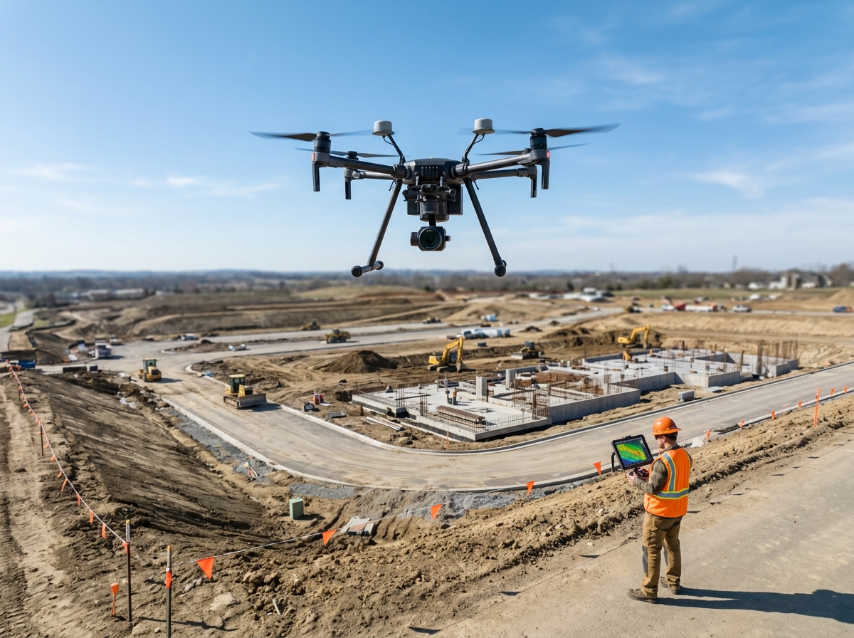
Fast, accurate topographic and site surveys completed using high‑resolution drone mapping technology.
What Drone Surveys Deliver
- High‑accuracy topographic maps
- 2D orthomosaic site plans
- 3D terrain models (DTM/DSM)
- Cut‑and‑fill measurements
- Progress tracking for construction sites
- Boundary and land‑area measurements
Why Drones Are Better Than Traditional Surveys
- Cover large areas in a fraction of the time
- Reduce labour costs
- Capture thousands of data points per second
- Improve accuracy and consistency
- No need for manual access to unsafe or uneven terrain
Ideal For
- Builders & contractors
- Architects & engineers
- Farmers & landowners
- Planning applications
- Site development & extensions
Aerial Photography & Inspection
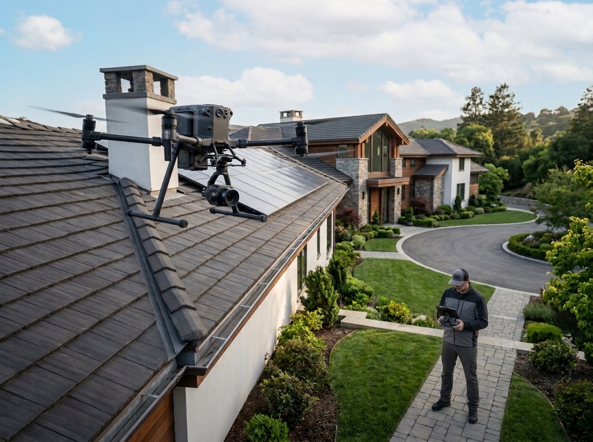
High‑resolution aerial imaging for roofs, buildings, farms, and hard‑to‑reach areas.
What We Inspect
- Roofs & chimneys
- Solar panels
- Gutters & valleys
- Farm buildings & sheds
- Wind damage
- Insurance assessment photos
Benefits
- No ladders or scaffolding needed
- Safer, faster, and more cost‑effective
- Clear, detailed images for reports
- Ideal for insurance claims and maintenance planning
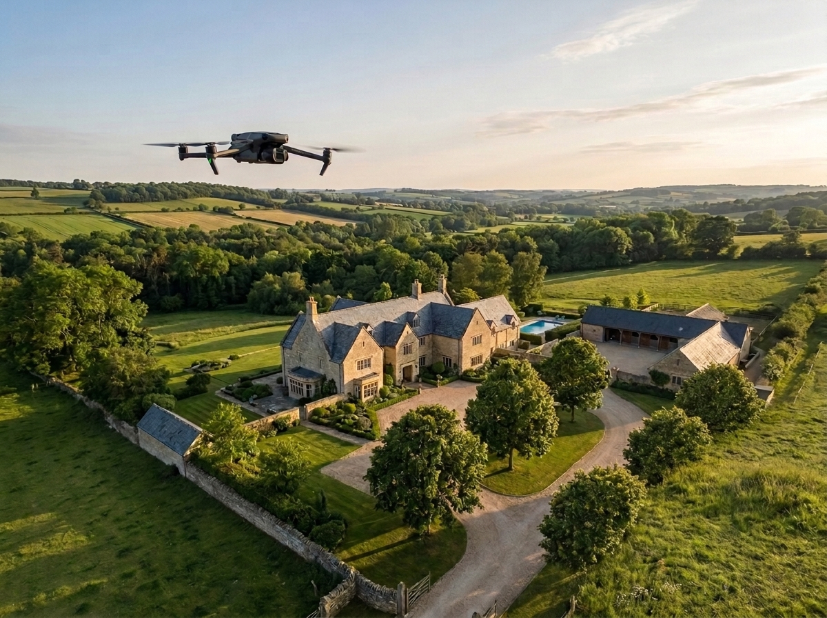
Aerial Photography & Video
Professional drone footage for marketing, real estate, events, and promotional content.
What We Provide
- High‑resolution photos
- 4K aerial video
- Smooth cinematic shots
- Property showcase footage
- Farm and land overview videos
Ideal For
- Estate agents
- Holiday homes
- Tourism & hospitality
- Marketing campaigns
- Landowners